As drones become more common in the U.S. and abroad, numerous industries are using aerial imagery for planning, documentation and marketing. But some projects still call for helicopter aerial photography instead of capturing photos from a drone. Here are a few tips to help you decide when to go with a helicopter shoot, and when a project is better suited to a UAV.

A Bigger Bird: Helicopter Aerials

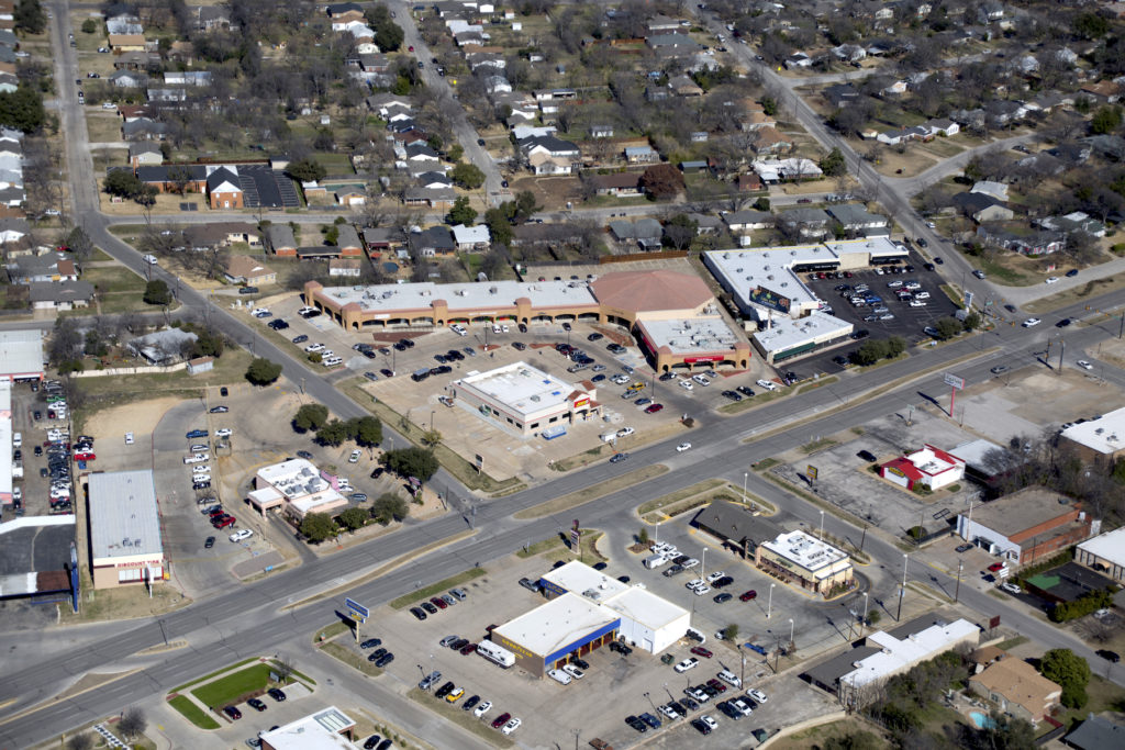
Shooting aerial photos from a full-scale helicopter is the smart choice when you need images from higher altitudes. Helicopter aerial photography can capture larger-scale properties, whether five city blocks or 500 acres, as well as facilities like shopping centers, power plants, and athletic stadiums.

Some areas are also classified as No Fly Zones and are prohibited for drone flight, leaving helicopter or airplane photography as the only viable options. In general, any area within five miles of an airport, as well as locations close to highly populated areas are a no-go. An experienced commercial drone pilot will be able to tell you whether the area you need photographed is safe to fly with a UAV, or restricted by the FAA. Helicopter aerial photos are generally shot at oblique angles, although straight-down shots are possible, too. Be sure to specify which angles and altitudes you need when planning a shoot with the aerial photographer. The rate for the shoot will depend on several factors, including how many images you need, what altitudes are required, and the distance of the property from the heliport.

A Smaller Bird: Drone Aerials

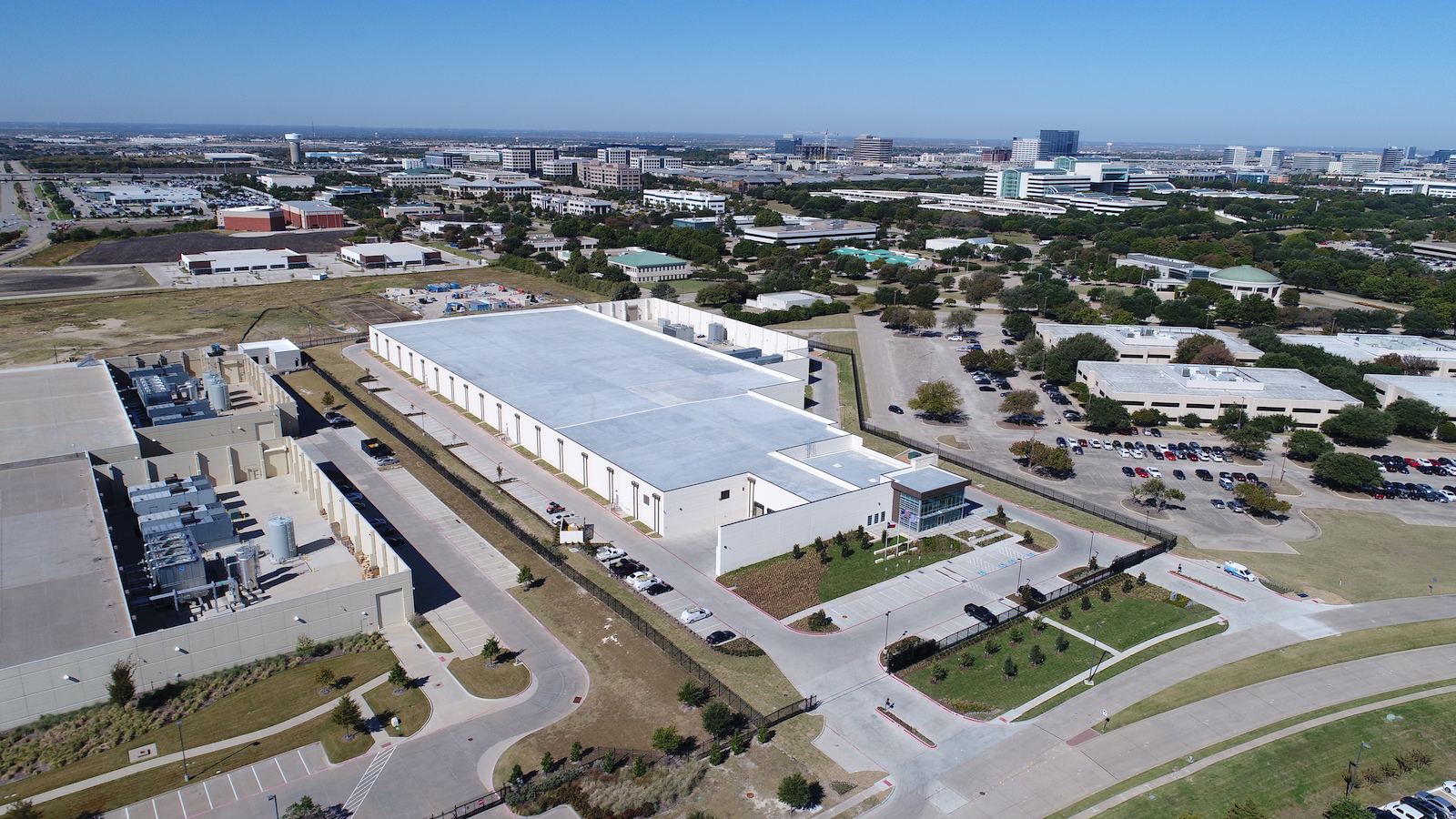
Drone photography is an excellent choice when you want to showcase details about a property or event from an aerial perspective. Since the blanket COA for commercial drone operators holding the required FAA Section 333 Exemption is limited to 400 feet, drones are ideal for low-altitude shoots, like construction sites, real estate listings, golf courses and resorts, and infrastructure damage assessments.

Drones are also well-suited for aerial inspections of roofing, bridges and telecommunications towers, and similar applications. In addition, UAV can be used for cost-effective 3D mapping to create topos and orthomosaics that can be imported into CAD software for land planning, civil engineering and construction applications. GlobalVideoHQ provides aerial helicopter photography in Dallas and across North Texas, as well as drone aerial photography nationwide. To discuss your project needs and request a free, no-obligation quote call (972) 318-2811 or contact us online.