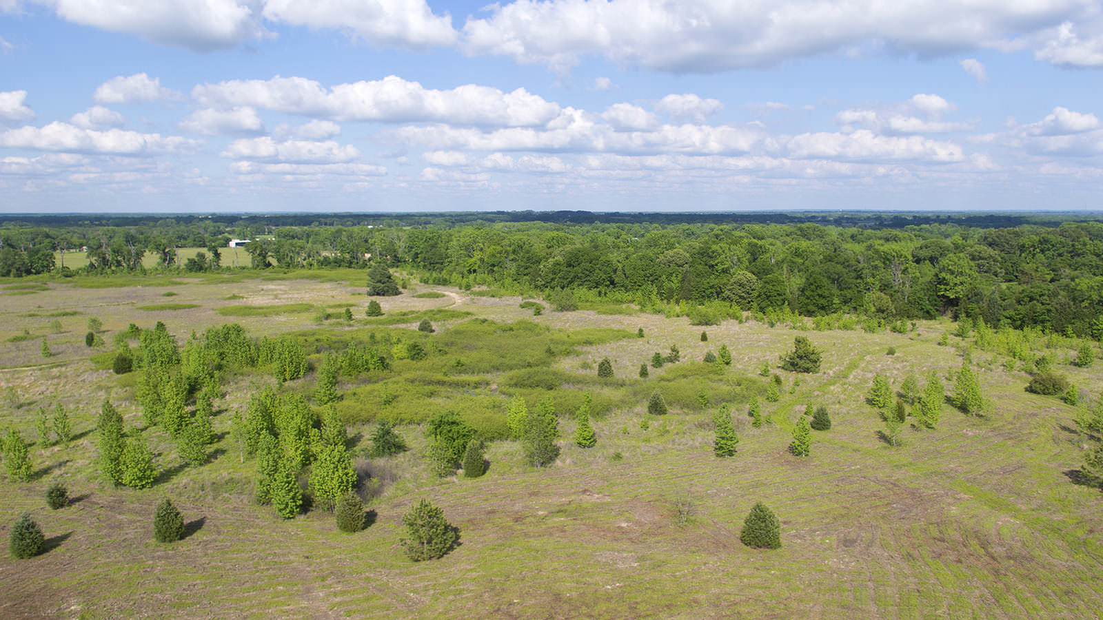

Depending on the acreage, a drone aerial shoot can take just a couple of hours, or a full day. Using a drone is far less obtrusive and more affordable than a full-size helicopter, and their smaller scale and nimble flight capabilities let you capture noteworthy details as well as the big picture.
Take Your Real Estate Marketing to New Heights
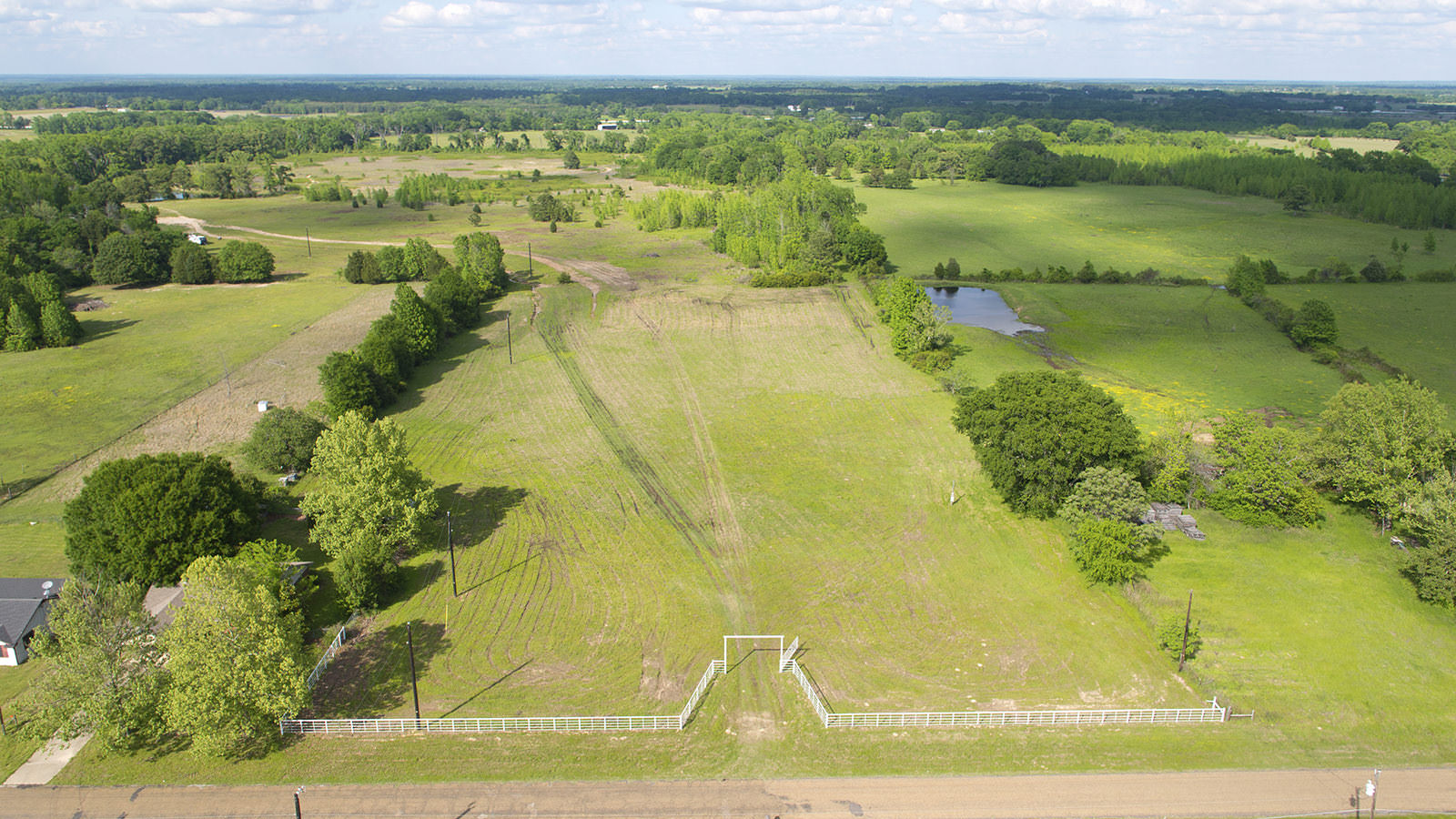
We recently spent just over two hours on site at a 75-acre ranch in Canton, TX to take three dozen high definition aerial photos and also record more than 20 minutes of video footage, which we’ll pare down and edit into a stunning two-minute aerial video tour.
We flew our DJI S900 hexacopter, which carries a full-size Panasonic GH3 camera on a 3-axis Zenmuse gimbal. Since the UAV pilot uses a separate camera, he is able to focus on flying while the main camera operator can do creative pans and tilts during flight. The winds were calm, the setting idyllic, and Mother Nature was kind enough to provide the perfect backdrop of blue skies and puffy white clouds to add texture and dimension to the imagery.
Including aerial photography for ranch listings can attract a wider range of buyers and potentially help bring in top dollar for the property. If you are selling a ranch, farm, commercial building or residential home, call us at (972) 318-2811 or contact us online for a free quote today.
Click any thumbnail to open full-size image