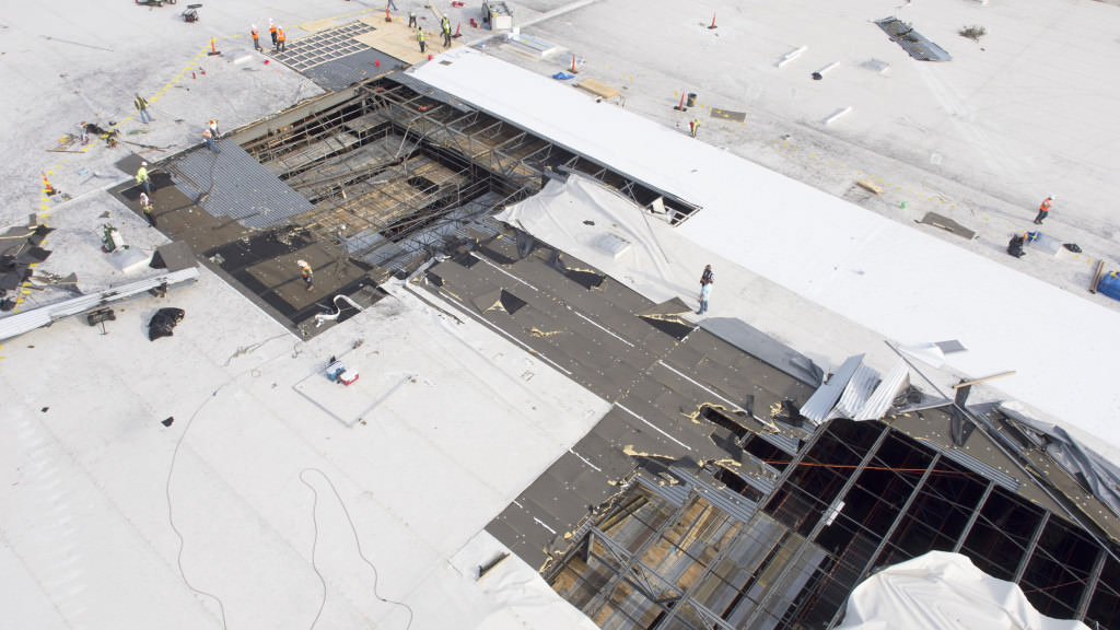
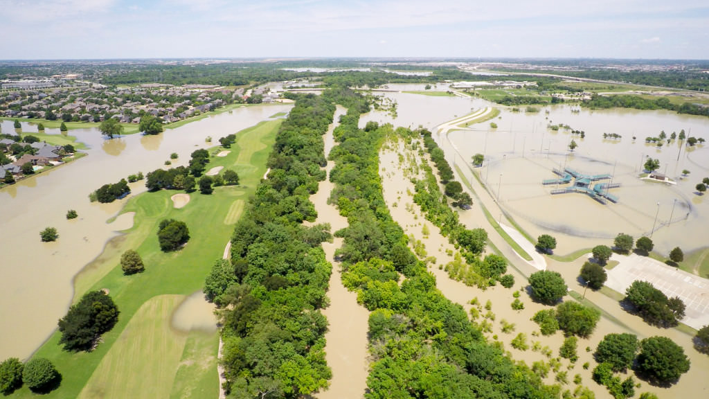
From 60-foot roof inspections to 400-foot views of city parks, we have spent the past week capturing aerial photos and video of commercial and city buildings and developments. We were especially proud to work with a local fire department and members of the Parks and Recreation Department to help determine the scope of flooding in different parts of Carrollton, Texas to help with disaster relief funding claims, infrastructure planning, and future fire and rescue efforts.
Aerial Inspections
Aerial inspections aren’t always under such dire circumstances, however. This week, we are in Ft. Wayne, Indiana, conducting line-of-site assessments between cell towers and helping tower workers assess the placement of cellular and microwave dishes.
Whether you need a roof inspection, site survey, construction update, or other project requiring aerial photography or video, our skilled UAV pilot and crew can get the images you need. For a no-obligation quote or to check our booking calendar, please call (972) 318-2811 or contact us online.
 972-318-2811


